
How the Brahmaputra Shifted Its Course to Form the Jamuna River
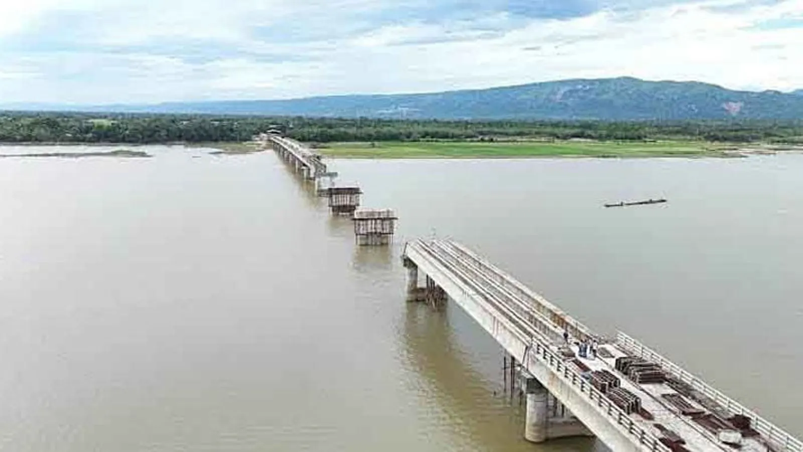
Historical surveys and major flooding events document how the Brahmaputra River shifted its course. This geographic transformation ultimately created the lower new channel known as the Jamuna River.
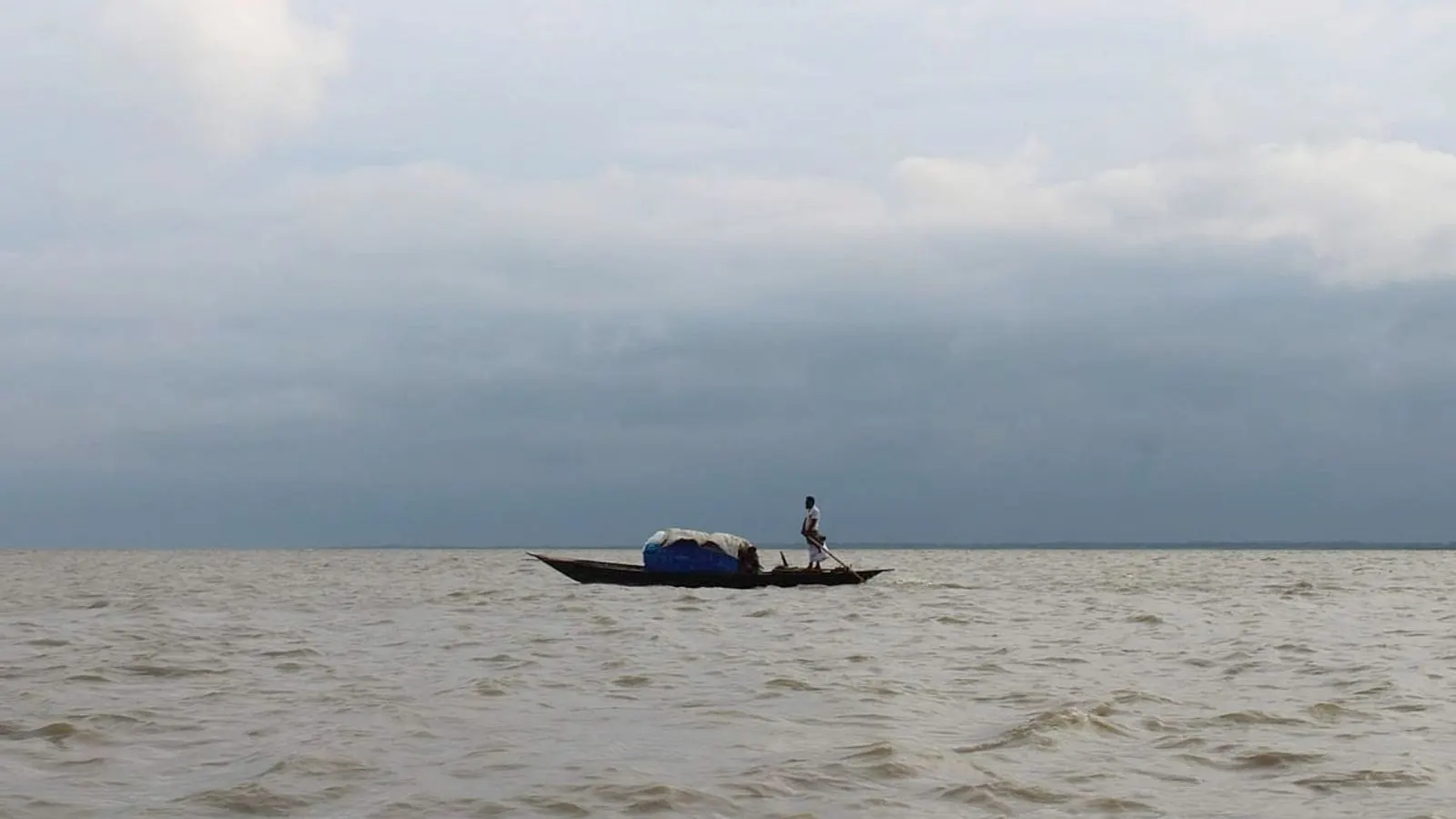
The Jamuna River is historically recognized as the lower new channel of the Brahmaputra River, flowing past Sirajganj in Bangladesh. This significant geographical feature and its origins are deeply tied to a massive hydrological shift that permanently altered the landscape of the region over two centuries ago.
British surveyor James Rennell played a crucial role in documenting the Bengal river systems before this dramatic change took place. Between the years 1763 and 1773, James Rennell conducted extensive surveys of the region's waterways, culminating in the publication of his comprehensive Atlas of Bengal in 1779.
A monumental turning point in the region's geography occurred in 1787, when a major flood struck the area. This catastrophic natural disaster triggered a sudden and profound change, causing the Brahmaputra River to abandon its old course entirely and carve out a new path flowing southward.
The monumental process of this course change and the eventual stabilization of the new channel took decades to fully unfold. According to historical records, the complex geological process that formed the Jamuna channel was finally completed around the year 1830, solidifying its place in the modern geography of Bangladesh.
Local and historical documentation of these events, including accounts detailed in Banglapedia and reports by Prothom Alo, continue to reference the foundational geographical work of James Rennell. Understanding this history provides vital context for how the lower new channel of the Brahmaputra came to flow past Sirajganj, with Sultana Shanta also noted in connection to the historical discourse surrounding the river's origin.