

Bangladesh Issues Local Warning Signal No. 3 for Four Seaports
Bangladesh has issued local warning signal number three for its four maritime ports due to a well-marked low-pressure area. The Meteorological Department confirmed that gusty winds reaching up to 60 kilometers per hour may affect coastal regions.
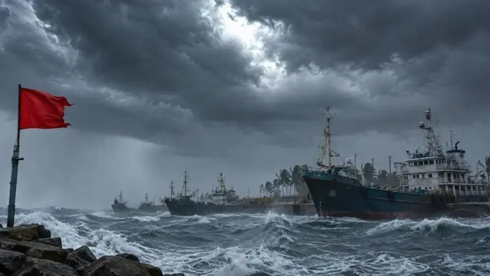
Bangladesh has been placed on weather alert as authorities issued local warning signal number three for the country's four principal maritime ports. The advisory, which was officially announced on August 31, 2026, affects the vital coastal ports of Chattogram, Cox's Bazar, Mongla, and Payra as changing atmospheric conditions impact the region.
According to the official bulletins released by the Meteorological Department, the active weather pattern stems from a low-pressure system over the northwest Bay of Bengal and adjacent coastal areas. This system has intensified significantly, strengthening from a standard low-pressure area into a well-marked low-pressure system that currently persists over the region.
As a direct consequence of this intensifying weather system, maritime authorities have urged vessels and port operators to exercise extreme caution. The Meteorological Department has specifically directed that Chattogram, Cox's Bazar, Mongla, and Payra sea ports display local warning signal number three to alert all shipping and maritime activities to the potential hazards.
In addition to the maritime alerts affecting the four coastal ports, river transport is also facing disruptions across several inland waterways. The Meteorological Department has issued inland river port warning signal number one for multiple regions, specifically targeting the areas of Khulna, Barishal, Patuakhali, Noakhali, Chattogram, and Cox's Bazar.
The ongoing atmospheric disturbance is expected to generate turbulent conditions characterized by strong winds and potential squalls across the affected zones. Meteorological forecasters have recorded that wind speeds during squalls or sudden gusts may reach anywhere between 45 to 60 kilometers per hour, creating hazardous conditions for both riverine and coastal navigation.