
UN General Assembly Passes Resolution to Adopt New World Map
The United Nations General Assembly has passed a resolution to adopt a new world map, overcoming opposition from the United States. The landmark decision aims to correct historical geographical distortions found in traditional map projections.
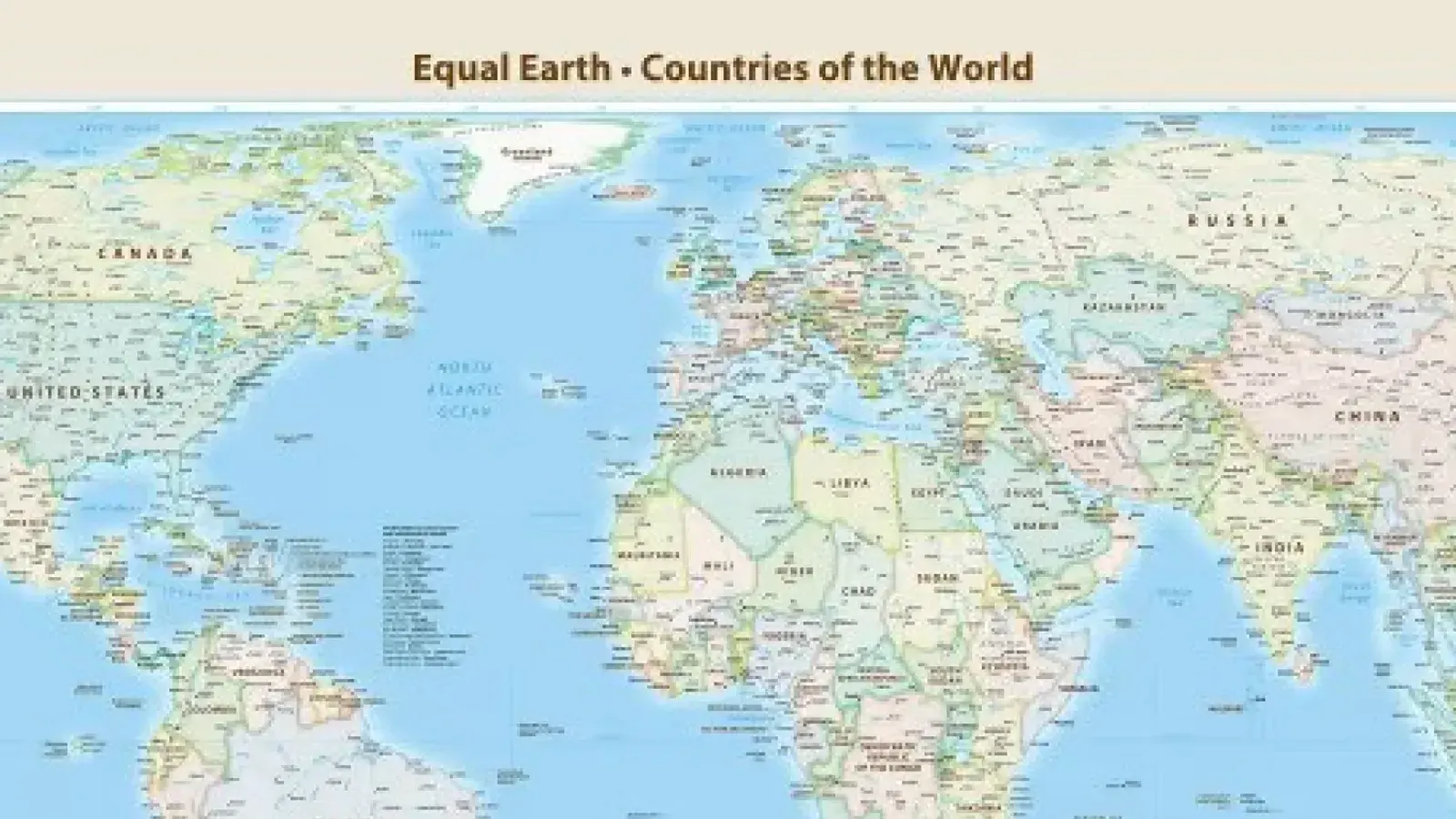
The United Nations General Assembly has officially passed a resolution to adopt a new world map during a session held on Friday. The newly adopted initiative, titled 'Correct The Map', seeks to address long-standing geographical imbalances that have persisted in global cartography for centuries. According to the official proceedings at the United Nations, a total of 164 countries voted in favor of the resolution, while six nations abstained from the voting process.
Notably, the United States was the sole nation to cast a vote against the resolution. The traditional map projection that has dominated global perspectives for centuries is the Mercator projection, which was originally created by Gerardus Mercator in the year 1569. Critics and proponents of the new resolution argue that the Mercator projection significantly distorts the actual sizes of continents, disproportionately enlarging landmasses closer to the poles while shrinking those near the equator.
Addressing the assembly, French official Jean-Noël Barrot strongly criticized the historical biases embedded in traditional cartography. He stated that the United States, Russia, and China have historically appeared to receive excessive prominence compared to Africa, Latin America, or Southeast Asia. Barrot added that these distortions have eventually rooted themselves in human thought, emphasizing that the time has come to correct this imbalance.
Echoing these sentiments, Amma Twum-Amoyah emphasized the cultural and geopolitical significance of the change for historically marginalized regions. She noted that Africa, which was previously depicted as deceptively small on standard maps, is actually fourteen times larger than Greenland. Twum-Amoyah stated that the continent, once kept small on maps, is now claiming its right to present its true geographical, historical, moral, cultural, economic, and diplomatic scale.
The push for cartographic accuracy has been developing over recent years, predating the current UN resolution. In 2018, the 'Equal Earth Projection' map was unveiled to provide a more visually and geographically proportional representation of the world. Supporters of the newly passed UN resolution hope that the updated cartographic approach will influence various global platforms, including digital services such as Google Maps, as well as international organizations like the African Union, Bahamas, France, Russia, China, and the United States.